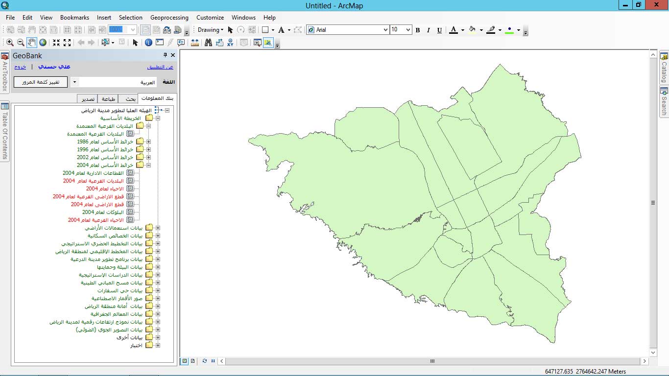
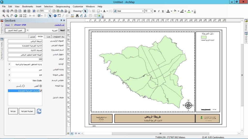
GeoBank: A specialized tool for ArcGIS designed to enhance your spatial analytics and provide direct access to ArcGIS’s powerful capabilities right on your desktop. With this robust mapping and spatial analysis software, you can apply location-based analytics to your business practices in unique ways. With GeoBank, you can easily: Create compelling maps: Design your own maps to display your data and highlight geographic patterns. Get the data you need: Extract geographic data from multiple sources and analyze it. Discover valuable insights: Use advanced analytical tools to uncover spatial patterns and relationships. Share and collaborate effortlessly: Share your maps and analyses with your team and colleagues. GeoBank supports and is compatible with ArcGIS 10.x versions.
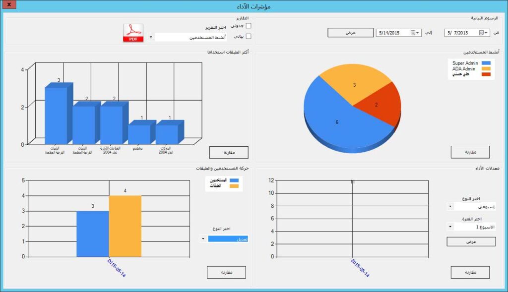
A specialized tool for ESRI: enables you to update and execute your operations efficiently to meet your business requirements. Gain greater flexibility in managing your data and improving your decisions. We use hidden server-level connection parameters to prevent unauthorized access to GIS data sources such as SDE. This feature protects your sensitive data and ensures the integrity of your system. Administrative privileges give administrators the ability to control the underlying data structure and hide the technical details of the database. Double protection for your data! We guarantee that your data is completely safe thanks to our system, which restricts access and allows only administrators to manage permissions. Multi-level administrative permissions give you full control over your team: design custom permissions for each team member and keep your data secure. Enjoy a personalized experience with our multi-language translation system powered by Google Translate. You can easily edit translations to suit your needs. The application includes English and Arabic by default. A powerful search engine enables you to perform in-depth searches using the layer name, description, and metadata keywords in any language with accuracy and speed. Dashboard and reporting for data consumption analysis. Centralize the look and feel and GIS data functions through pre-configured layer files published by administrators. Improve work efficiency and unify the user experience. Enhance user management and strengthen system security through integration with Active Directory.
© VOTechnology. 2025. All rights reserved.